
Search a Hastings Street by Address
A useful Hastings street directory search moves from a real address to the records keyed to that place. Start with the current Hastings property location, not a mailing city or ZIP alone. Dakota County's parcel system can supply the parcel ID, municipality, fee owner, mailing address, and legal description for a Hastings property. The next task is to keep each Hastings fact attached to the record that supplied it. An owner entry is not the same as an occupant statement, and a recorded transfer is not a move-in date.
Use the same Hastings address spelling in each first pass. If an older source uses a different form, keep both forms in the notes rather than forcing a match. Hastings has older gridded blocks near downtown and later curving subdivision streets, so a Hastings street-by-street result may need both a modern address and a lot or block reference before it lines up.
- Search the Hastings address or parcel ID in Dakota County Property Information and record the property address, municipality, parcel ID, legal description, fee owner, and mailing address.
- Use the parcel map to select nearby addresses on the same Hastings street. Confirm the street geometry and municipality before treating parcels as part of one sequence.
- Follow the Hastings legal description into RecordEASE, then note grantor, grantee, document type, recording date, instrument reference, and image availability.
- For a Hastings registration question, use the person-specific MNVotes match with the actual name, birth date, and registered address fields. It is not a street roster.
- For an earlier Hastings household lead, check the dated telephone-directory holdings and archival sources, then compare the address against the deed and parcel trail.
That sequence keeps the Hastings street directory focused on documented address evidence. Note: A Hastings parcel card is useful orientation, but the county warns it is not a substitute for a title search, survey, appraisal, or zoning decision.
Hastings Address GIS Search
The free Dakota County Property Information GIS is the first local tool for a Hastings street directory lookup. Enter a full Hastings address, a house number, a street-name fragment, or a parcel ID. Select a result or click a parcel on the map. The Hastings viewer then separates property, tax, and building information rather than placing every fact in one undifferentiated result.
The Hastings map can add public layers for parcels, aerials, contours, parks and trails, construction, floodplain, and other context. Use those Hastings layers to understand the location, not to make a title claim. A map click is particularly helpful on a long Hastings street where house numbers look similar or a road bends through a newer subdivision.
| Hastings GIS control | Input or action | What the result can provide |
|---|---|---|
| Hastings address search | Full address, house number, or street fragment | Matching Hastings parcel choices for selection |
| Hastings parcel ID | Parcel number with or without dashes | An exact Hastings parcel |
| Hastings map click | Pan and select a parcel | Hastings parcel position and a link to information panels |
| Hastings Property Information | Open result panel | Fee owner, mailing address, municipality, tax description, and links to plats |
| Hastings Tax and Building Information | Open result panels | Tax data, assessments, building characteristics, and related county fields |
| Hastings Print Property Details | Use the printable result | A PDF-style property-details record for the selected parcel |
See the county GIS help page before relying on a Hastings field you have not seen on the selected parcel.
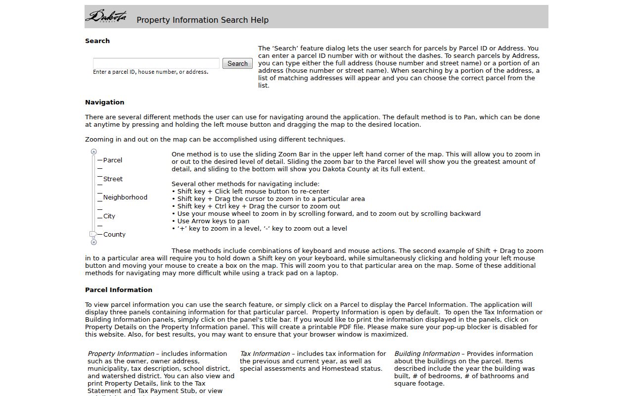
The captured help screen shows how Dakota County separates Hastings parcel, tax, and building information after an address or parcel selection.
Hastings Parcel Addresses and Owners
Build a five-part address key for every Hastings street record: modern situs address, historic spelling or number, parcel ID, legal description, and owner mailing address. The county distinguishes the Hastings property address from the owner mailing address. A fee owner may receive mail elsewhere, and a Hastings mailing address can appear on land outside the municipal limits. In Hastings, neither field alone establishes who occupies a parcel.
That distinction prevents a common error in Hastings by-address research. A Hastings property card can show a name, a sale date, building facts, current and prior valuations, tax totals, and special assessments. It is still a county information record, not proof of legal title or current residence. Preserve the Hastings municipality and legal description whenever an old street form or nearby postal label creates doubt.
- Parcel
- A Hastings county-defined piece of land identified by a parcel ID and connected to tax and property data.
- Situs address
- The Hastings physical property location used to identify the parcel. It can differ from the fee owner's mailing address.
- Plat
- A recorded map that can identify Hastings subdivision lots, blocks, additions, and surveyed boundaries when a street address changes.
- Criss-cross directory
- An address-arranged directory, if a verified volume exists, used to locate a dated subscriber by street and house number.
Note: The official finding aid verifies Hastings telephone-directory holdings, but it does not verify a complete local criss-cross or reverse-directory run.
Hastings Records Available by Street
Several Hastings record sets can be keyed to an address, but each has a narrow purpose. The Hastings parcel viewer describes current county property data. Hastings RecordEASE describes recorded parties and instruments. Hastings City permit and code files can be requested by property context, while a dated Hastings telephone directory provides a subscriber snapshot. Use the source that fits the question, then compare it with another source before drawing a conclusion about a specific address.
| Hastings address record | Custodian | Address-linked detail | Access route |
|---|---|---|---|
| Hastings Property Information GIS and property card | Dakota County Property Taxation & Records | Parcel, fee owner, mailing address, municipality, tax and building details | Free address, parcel, or map search |
| Hastings recorded land documents | Dakota County Land Management Records | Grantors, grantees, legal descriptions, document type, recording data | RecordEASE account or county copy request |
| Hastings tax statements | Dakota County | Property context and current plus three prior statements | House number or property ID route |
| City permits and code files | City of Hastings | Property work or case context, subject to classification and retention | Permit department or Chapter 13 request |
| Telephone directories and maps | MNHS, DCHS, and Library of Congress | Dated subscriber, street, building, or block evidence | Collection, microfilm, shelf, or map search |
For an address inside the broader Hastings area, verify the county before ordering. Research material notes that general references describe a small nearby area as touching Washington County, while the exact crossover was not located in an official source. The parcel municipality and county record are the safer checks.
Hastings Address Deed Trail
After the GIS result supplies a legal description, move from a Hastings street directory search to the county's Hastings recorded-document route. Dakota County online property records describes RecordEASE searches by grantor, grantee, legal description, and document type. Results can lead to TIFF images, PDFs, paper copies, and certificate products. The live search requires a login, so do not assume unseen date controls or dropdown choices.
Record each Hastings instrument's parties, recording date, document type, document number, book or page reference if displayed, and the connection to the prior transfer. Search a buyer as grantee for the purchase that brought that person into the Hastings chain, then follow the prior seller as grantee to locate an earlier acquisition. That is a deed chain, not an occupancy list.
The RecordEASE login shows the account gate and current indexing-status notice.
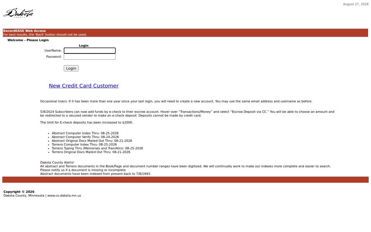
The image supports the practical distinction between the county's published search modes and the live fields available only after login.
Hastings Address History
Hastings address history is shaped by the city's early compact grid, downtown core along 2nd Street, later growth along Vermillion Street and TH 61, and post-1950 subdivisions with curving roads. An older directory entry may reconcile cleanly to a gridded block but not to a modern subdivision street. A nineteenth-century deed may use lot, block, addition, or township language where a modern card uses a parcel ID.
No verified official year for a Hastings citywide renumbering, street renaming, or annexation-related renumbering was found. When a Hastings number fails, compare street-name variants, the county plat or survey record, a Sanborn sheet, newspaper legal notices, and City Engineering or right-of-way files. Do not invent a conversion between an old number and a current one.
The City of Hastings maps collection links its current zoning/address, historic-district, land-use, parcel, and flood-map references.
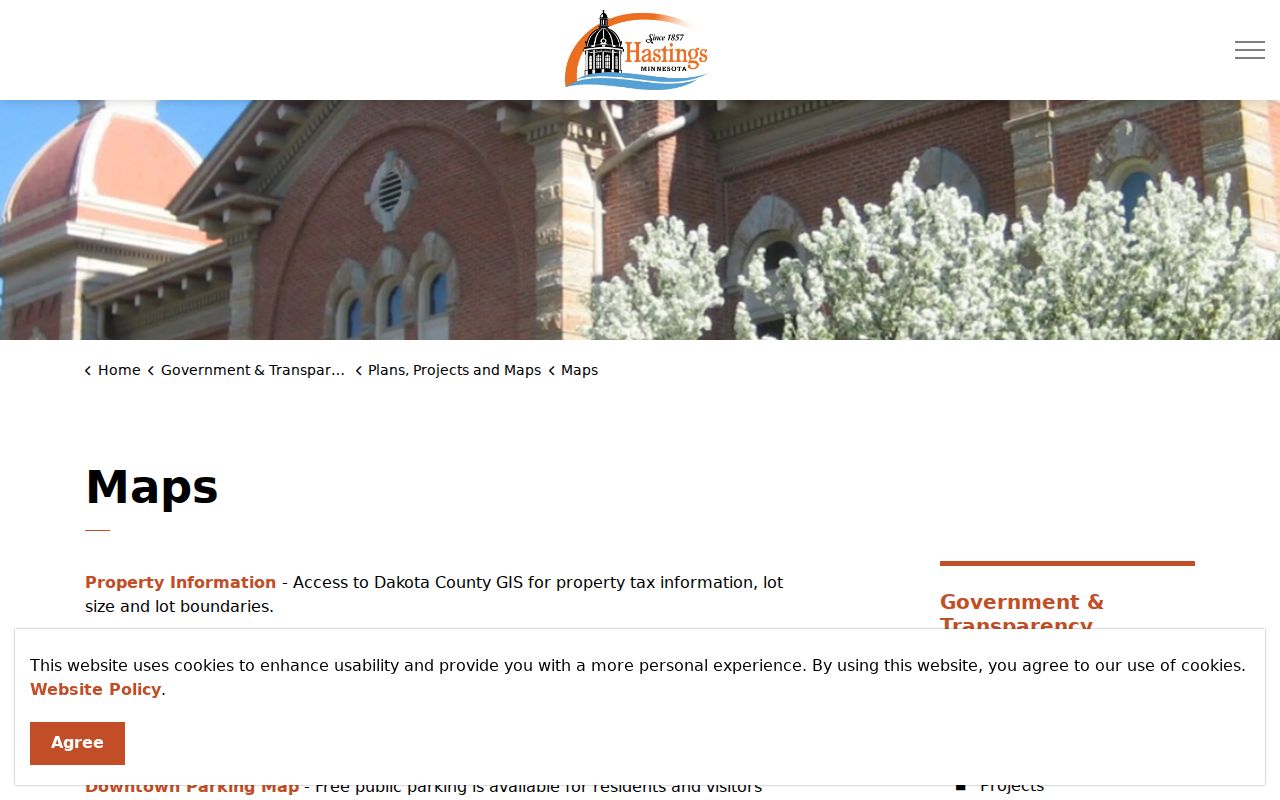
These city map links are a current reference point before an older street form is compared with plats, legal descriptions, or archival maps.
Hastings Street Records for Permits
Municipal files can add a built-environment date to a Hastings address trail. The Hastings city states that building and remodeling permits create a historical maintenance and remodeling record. Its Hastings public pages list building, planning and zoning, business, park, and special-event applications, but the research did not locate a public search screen that returns permit results by name or address.
Use the public permit route or a targeted Minnesota Government Data Practices Act request. Include the address, parcel where available, permit or record category, and a date range. The City may provide copies, inspection, a fee estimate, a statement that no responsive data exists, or a citation to a nonpublic classification. Property-maintenance cases can be an address clue, but they should not be treated as proof of wrongdoing without the underlying record.
Hastings' 2024 annual report recorded 2,162 permits and 266 code cases, confirming that these are active local record groups without identifying any individual address.
Hastings Street Voter Matches
A Hastings address can be part of a voter-registration verification only when the person-specific inputs match. MNVotes asks for first name, last name, birth date, and either ZIP or county search mode. Its ZIP route also uses the Hastings county, city or township, house number, street, and an optional unit field. The public tool is updated nightly and returns a match status or next steps.
It is not a way to extract everyone on a street. The statewide voter-file request is a separate product with requester certification, statutory purpose, chosen geography, and protected identifiers excluded. A match does not establish ownership, full household membership, or current occupancy. Retest only with the person's actual registration format, including a unit when appropriate.
The Minnesota voter lookup captures the exact address components used for a verified registration match.
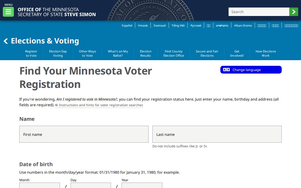
The required identity and address fields show why a voter lookup is a narrow confirmation tool, not a general street-directory export.
Hastings Street Directory Limits
A Hastings street directory can connect parcels, recorded parties, dated subscribers, and some public municipal records. It cannot turn those sources into a complete list of people at every home. A fee owner may receive mail elsewhere. A telephone entry is a dated subscriber listing. A map reveals parcel location and layers, not legal title. A voter result is a status match, not a household census. A deed shows a recorded transaction, not the day someone arrived or left.
Some Hastings information is protected or has a different access channel. Safe at Home uses a substitute post-office box for participants' public-facing government interactions, and voter records exclude protected identifiers. A city records request may be denied or redacted where data is classified as nonpublic. Retention gaps also matter, especially for older municipal files.
Lawful use. Use Hastings address records for family history, property research, civic questions, or personal safety. Do not use a record to stalk, harass, threaten, or harm another person.
Hastings Street Record Checks
Finish a street-by-street project by preserving the source and date for every result. Keep the parcel ID, situs address, municipality, legal description, and source URL or archive reference together. For county copies, Dakota County lists recorded-document copies at $1 per page or $10 certified, with a written request route through Property Taxation & Records in Hastings. Order only the image that answers the open question.
For future recorded-document monitoring, Dakota County Property Watch is a free alert signup that can match a name, legal description, or property. Alerts identify future matching party names, dates, document numbers, and document types. They do not rebuild a past chain, but they can reduce repeat searching after a Hastings parcel is identified.
When the question turns from a current street sequence to an older household, the verified telephone volumes and archival shelf details belong with the Hastings city directory collections. Preserve a directory gap as a gap rather than filling it with a guess.