
Hastings ZIP Code Coverage
The verified principal postal pairing for Hastings is 55033 in Dakota County. The state county and ZIP list makes that pairing explicit. The public postal result should still be checked against the whole street address, because the research did not locate an official list of every city-limit address using 55033 or every address outside Hastings that shares its mailing label.
| Verified ZIP code | Area identified | Post office | Use with care |
|---|---|---|---|
| 55033 | Hastings, Dakota County | Hastings Post Office, 300 2nd Street East | Verify a full address with USPS. The ZIP label is not a municipal-boundary test. |
The Hastings ZIP code directory therefore has one confirmed local row, not a made-up list of nearby delivery areas. Keep nearby postal labels separate until an address, map, and parcel result show how they relate to the location being researched.
Hastings ZIP Code Map Context
The official Dakota County ZIP map shows Hastings with 55033 and also labels many other county ZIPs. Nearby Vermillion appears with 55085. The map also places ZIP labels in rural Ravenna and Nininger contexts. Those labels help spot a boundary question, but they do not prove that every displayed ZIP serves a Hastings address.
The Dakota County ZIP map provides the countywide postal context for Hastings and nearby communities.
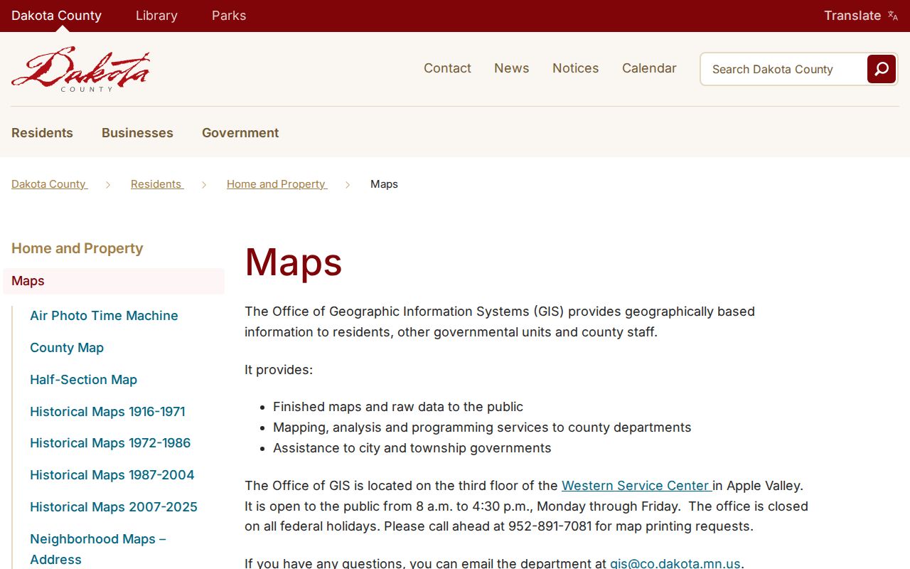
Use the map to identify a possible mismatch, then test the actual address through USPS and the municipal and county map tools. A county map label is a prompt for research, not a resident result.
Hastings Post Office counter hours are Monday through Friday 8:30-5:00 and Saturday 9:00-12:00, with PO-box access Monday through Friday 7:00-5:00 and Saturday 7:00-3:00. The office phone is 651-437-1663. These are postal service details, not a claim about the status of an address or a person.
Population figures offer only broad context for a ZIP question. Census QuickFacts lists 22,154 Hastings residents in 2020 and an estimated 22,563 in 2025 across 10.29 square miles of land. Those figures do not describe a postal boundary, identify a household, or show which delivery label belongs to a particular parcel. The map and address tools remain the better route for an individual location.
Hastings ZIP Code Lookup Modes
The public USPS ZIP Code Lookup has three practical modes. By Address standardizes an address and returns its postal ZIP. By City and State returns ZIPs associated with a city and state search. Cities by ZIP returns the city names associated with a five-digit ZIP. USPS warns that an address result does not confirm a person or company, so it should never be read as a directory of Hastings residents.
| USPS mode | Fields available | Required input | Result for a Hastings check |
|---|---|---|---|
| By Address | Company, street, apartment or suite, city, state, optional ZIP | Street, city, and state | Standardized postal address and ZIP |
| By City and State | City and state | Both fields | ZIPs associated with the requested city and state |
| Cities by ZIP | ZIP | ZIP field | Associated city names |
The USPS lookup screen shows the address, city-and-state, and ZIP-to-city modes used for a postal check.
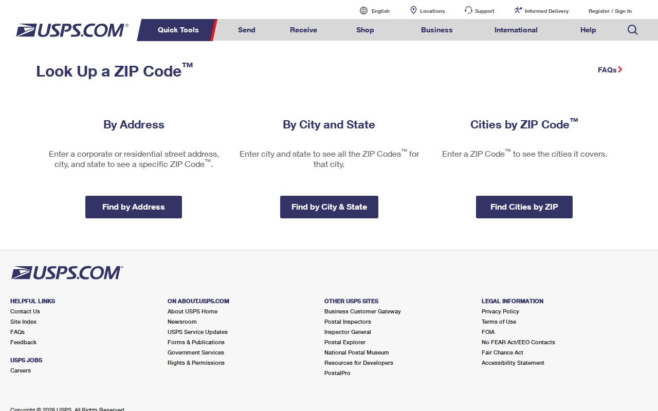
USPS AIS can add ZIP+4 and carrier-route information in a subscription product updated monthly. The public workflow here uses ordinary USPS lookup, then turns to GIS when the question is about a parcel or city limit.
Find Hastings Residents by ZIP
A ZIP is not a broad people-search filter in the local records examined for Hastings. Minnesota's MNVotes has a ZIP search mode, but it is a person-specific registration match. It requires a name, date of birth, ZIP or county, city or township, house number, street, and an optional unit. The result can help verify a matching registration record. It is not a census of everyone using a ZIP.
- Start with USPS By Address when the full Hastings street address is known. Save the standardized delivery city and ZIP exactly as returned.
- Use the Minnesota voter lookup only for a person-specific registration check, supplying the identity and address fields it requires.
- For a parcel question, search Dakota County GIS by address or parcel ID. Its inspected interface does not expose a ZIP field, so the postal result is only a clue.
- For a permitted voter-file request, use the state form's available geography choices such as county, city or town, precinct, or district. It is not a general ZIP export.
- Compare the delivery city, ZIP, county, municipal situs, parcel ID, and legal description before treating a result as tied to Hastings.
When a ZIP narrows the search to a street and house number, the Hastings street directory has the address-by-address parcel route. It is a different task from finding an official postal match.
Note: A registration result and a postal result answer limited questions and do not establish property ownership or every occupant.
Hastings ZIPs Are Not Parcels
Dakota County Property Information GIS is the starting point once a postal result needs parcel context. It searches by address or parcel ID, not ZIP. A selected parcel can show the property address, municipality, fee owner, owner mailing address, legal description, tax description, and links to property, tax, and building information. The county cautions that the map is not a title search, appraisal, survey, or zoning determination.
The Dakota County GIS help page describes address and parcel selection and the property, tax, and building panels.
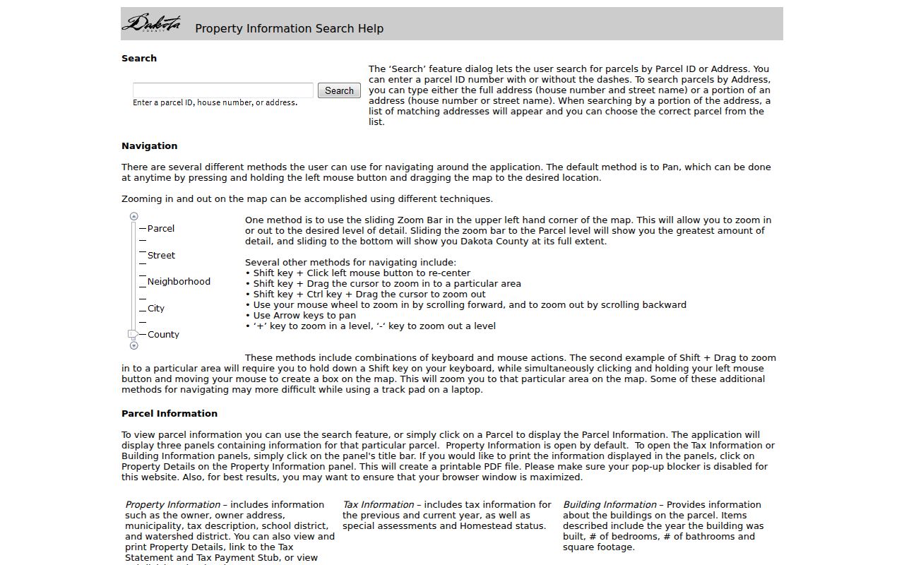
A fee owner or a mailing address can differ from the situs, or physical, parcel address. Keep those fields distinct. For a recorded-document question, RecordEASE uses legal description, grantor, grantee, and document type rather than a ZIP.
Tax-statement searches follow the same distinction. Dakota County documents them by house number or property ID, not ZIP. MCRO likewise uses court location or county rather than postal geography. A ZIP code narrows the description of an address, but it does not replace the identifier used by the official record system.
Hastings ZIP Code Address Checks
The city keeps several map products that help test a boundary issue: Property Information GIS, a citywide Zoning and Address Map, land-use maps, historic-district maps, and flood mapping. Hastings has an early compact grid around downtown 2nd Street, later growth along Vermillion Street and TH 61, and curving subdivision streets from later development. An older directory may use a street abbreviation or lot and block where a current map uses a parcel.
The City of Hastings maps page links the address, zoning, historic-district, parcel, and land-use resources used to compare a postal result.
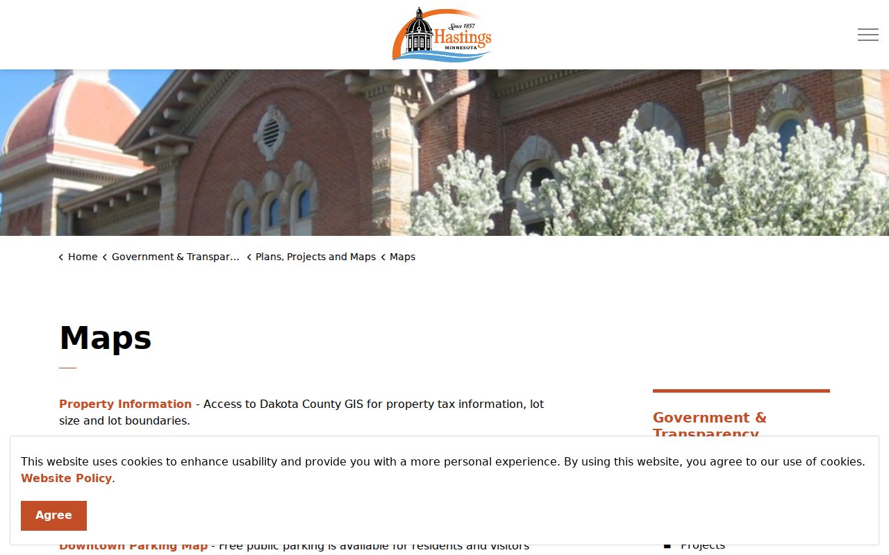
If an old number fails, compare the USPS result, city map, GIS address search, parcel ID, legal description, historical directory variants, and a Sanborn sheet or block. City Engineering and right-of-way records are the Chapter 13 fallback for an old easement or infrastructure alignment. No verified citywide renumbering or annexation year was located.
Note: An old address number needs a map and date check before it can be matched to a modern postal result.
Hastings ZIP Code Boundary Check
Postal and municipal geography are different systems. A five-digit ZIP groups delivery addresses, while the municipal situs identifies where a parcel is located for city purposes. The principal 55033 pairing is useful evidence for Hastings and Dakota County, but it is not a polygon or an exhaustive city address list. A correct postal city can still require a separate municipal and parcel check.
- ZIP code
- The five-digit postal routing label for a delivery area. It is not a property-boundary description.
- ZIP+4
- An added four-digit delivery detail within a five-digit ZIP. It improves mail sorting, not a resident search.
- PO-box ZIP
- A postal designation used for post-office boxes. Do not assume it identifies a street-delivery area.
- Unique ZIP
- A ZIP assigned to one institution or organization. No verified Hastings example was located in the research.
- Carrier route
- A mail-delivery sequence detail. It is not a municipal border or ownership record.
The county map's Vermillion 55085 label is the local reminder that a postal clue is not a city-limit answer. For a disputed address, retain four labels together: USPS delivery city, ZIP, county, and municipal situs. Add parcel ID and legal description when GIS returns them.
Hastings ZIP Code Boundary Myth
A common mistake is treating a Hastings mailing label as proof that an address lies inside the city or that its listed owner lives there. The county map itself shows nearby postal geographies, including Vermillion and rural township context. The GIS record may show a distinct municipality and an owner mailing address elsewhere. Neither conflict is an error by itself.
Resolve the mismatch in order: USPS address mode, city and county maps, GIS by house number and street fragment, municipality and parcel ID, the ZIP map, then historical address and Sanborn sources if needed. This keeps the Hastings ZIP code directory useful without asking a postal tool to answer a land-record or personal-history question.
Note: Preserve the source and date for each result, because postal, map, and parcel data can change on different schedules.